


Green Bay and the Door Peninsula in some early maps
All of the names on these maps refer to the attributed authors. Dates are not given and may vary depending on the sources. Descriptions and commentary can be found by searching the titles to the maps. The titles to the maps can be found in the links beneath each one.
Marquette’s map, as published in Paris by a contemporary, from a later printing with his party’s path drawn in. Although the dotted line isn’t shown going through Sturgeon Bay, Marquette described portaging there: http://moses.creighton.edu/kripke/jesuitrelations/relations_59.html

https://www.loc.gov/resource/g4042m.rb000005/?r=0.56,0.22,0.627,0.252,0
https://books.google.com/books?id=f3BCAQAAMAAJ&pg=PA330
The original of the map above

https://www.loc.gov/resource/gdcwdl.wdl_15487
Facsimile of the map which is believed to be Jacques Marquette’s original

https://archive.org/details/discoveryexplora00shea_2/page/n357/mode/2up
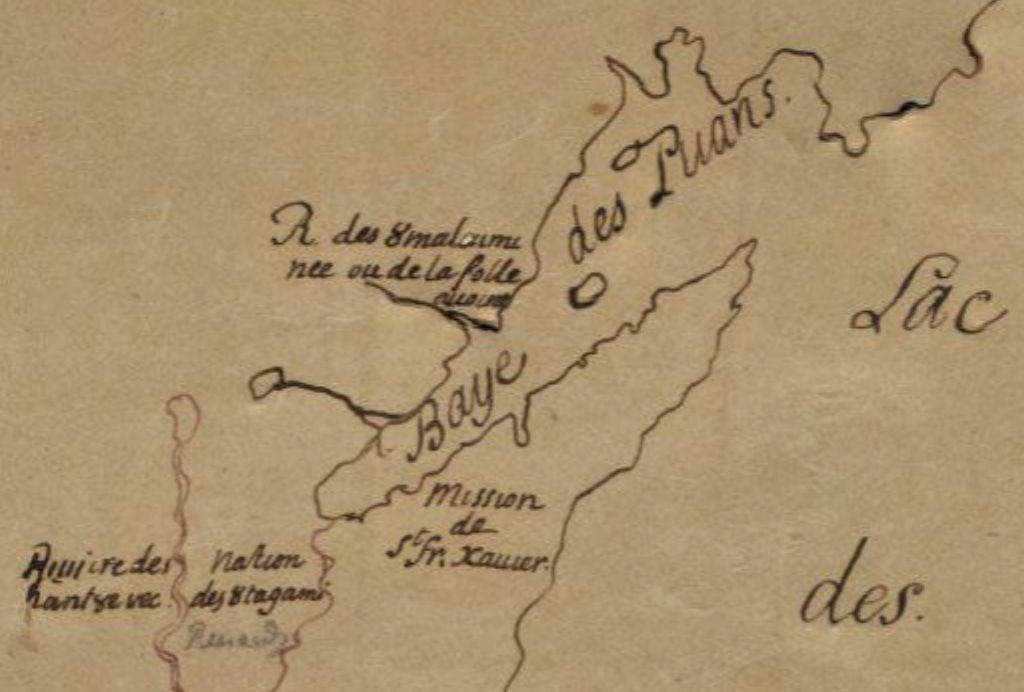
Louis Jolliet’s map

https://www.loc.gov/resource/g3300.ct000655?r=0.341,0.325,0.275,0.111,0
Claude-Jean Allouez and Claude Dablon

https://quod.lib.umich.edu/c/clark1ic/000861982/39015091196967 (If the image does not appear at first, attempt to zoom in or out.)
Guillaume Delisle
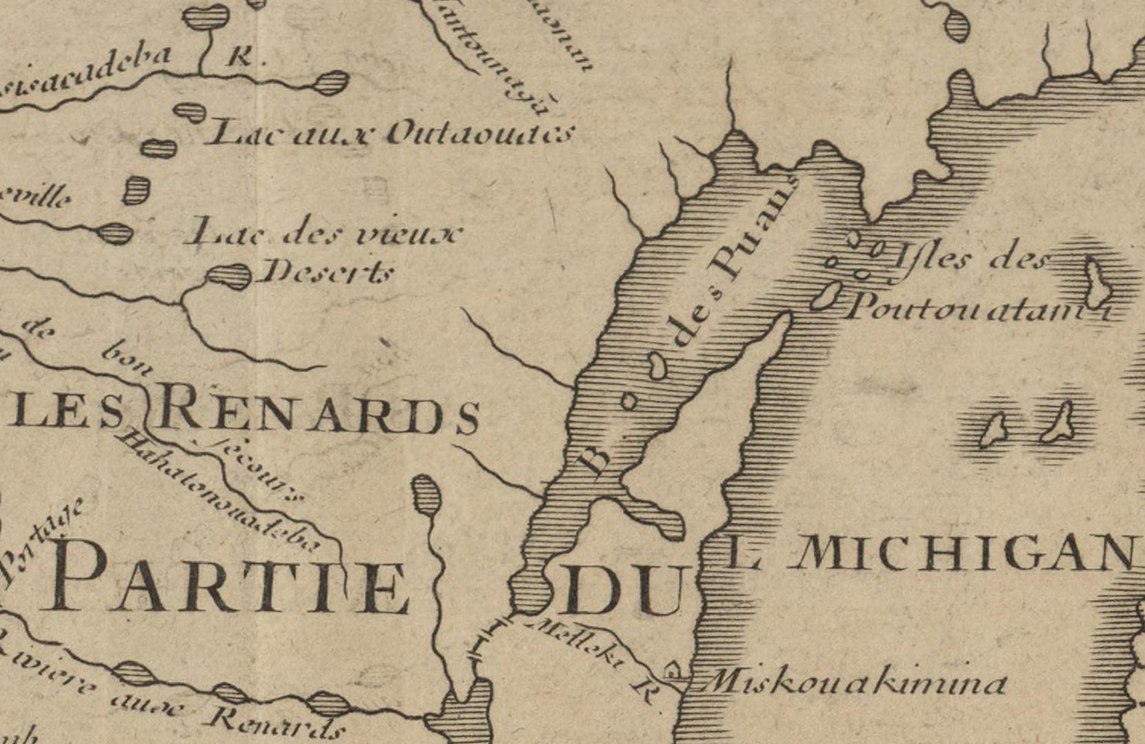
https://quod.lib.umich.edu/c/clark1ic/x-003876637/39015091194988
A later tracing of a map made by Louis Jolliet and Jean Baptiste Louis Franquelin
https://collections.carli.illinois.edu/digital/collection/nby_eeayer/id/15203/
The original is included as Figure 4.4 in Carl Kupfer and David Buisseret’s “Seventeenth-Century Jesuit Explorers’ Maps of the Great Lakes and Their Influence on Subsequent Cartography of the Region”: https://brill.com/downloadpdf/view/journals/jjs/6/1/article-p57_57.pdf
Their article also describes some of the other maps, and it was especially helpful for compiling this post.
This last one is later than the other maps. It is from a Dutch atlas of the world by Tirion Isaak.

https://collections.lib.uwm.edu/digital/collection/agdm/id/3890
The maps are courtesy of the Library of Congress Geography and Map Division, the Internet Archive, the University of Michigan Clark Library Maps, the the Edward E. Ayer Digital Collection, Newberry Library, and the American Geographical Society Library Digital Map Collection.
Posts about history:
https://doorcounty.substack.com/t/history