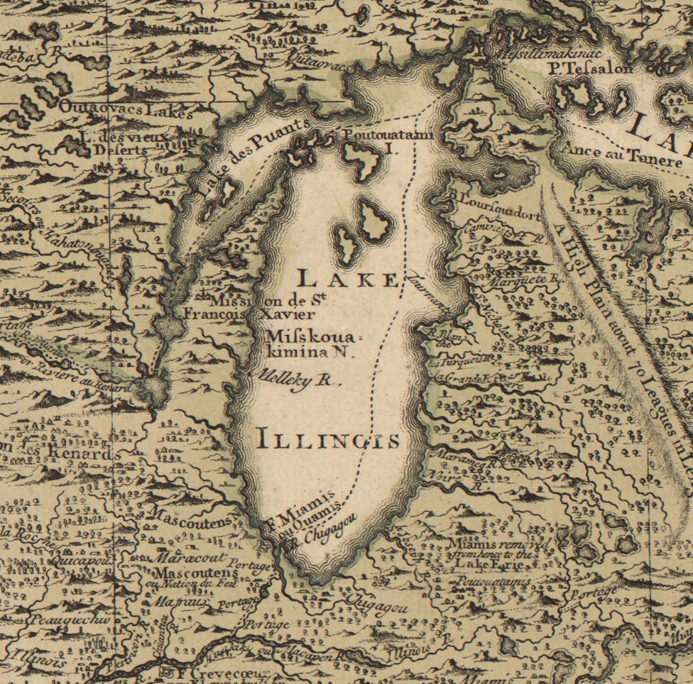
Three British maps showing Lake Michigan
These are three British maps from the 1700’s. The first map, https://quod.lib.umich.edu/c/clark1ic/x-004280137/39015091197031, was made by the geographer Herman Moll in 1732.
According to the handwritten note in the bottom margin, the second map, https://quod.lib.umich.edu/c/clark1ic/x-003011281/39015091185879, was made by the geographer Henry Popple sometime around 1734.
The third map, https://quod.lib.umich.edu/c/clark1ic/002907526/39015091186075, was published sometime around 1768 by the geographer Emanuel Bowen.
These are courtesy of the University of Michigan Clark Library Maps.
Articles about maps:
https://doorcounty.substack.com/t/maps


